Acoustic Positioning
Quick definition: Acoustic positioning is an underwater navigation method that uses sound signals between transponders, beacons and receivers to calculate position.
Acoustic positioning
Acoustic positioning is a method of determining the location of objects or people underwater using sound waves. Because GPS signals cannot penetrate water, an acoustic positioning system provides accurate tracking and navigation for subsea vehicles, divers and equipment.
Applications and use cases
Acoustic positioning is essential for:

Offshore construction

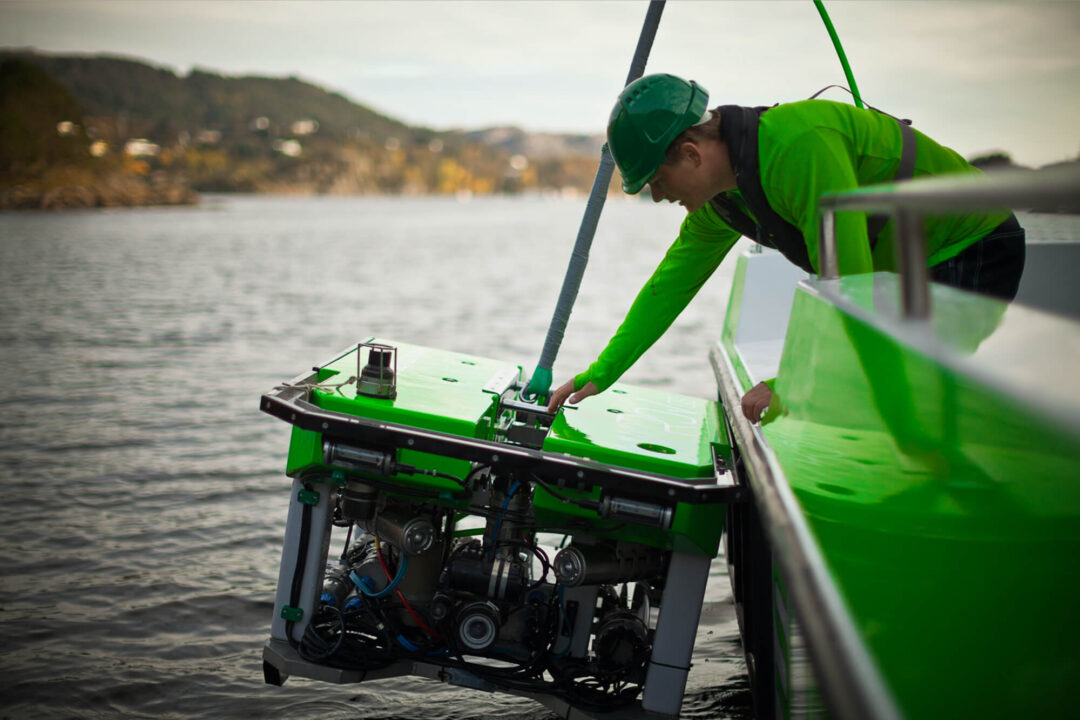
ROV and AUV navigation

Seabed mapping and surveys
How does acoustic positioning work?
Acoustic Positioning is a method used to identify the location of subsea targets for the purpose of marine navigation, obstacle avoidance / detection, asset location and oceanographic survey.
Acoustic positioning relies on transponders (or beacons) placed underwater. A surface vessel fitted with a transceiver sends and receives acoustic signals, measuring the time it takes for the sound to travel. This travel time is converted into distance, and through triangulation, the exact position of the underwater target is calculated.
“The fundamental principles of acoustic positioning apply to any system and involve two main steps: transmitting an acoustic signal and measuring the returning signal. By determining the time it takes for the signal to travel to the target and back, as well as the speed of sound through water, we can calculate the distance to the target.
Additionally, by using multiple elements to measure the return signal, we can determine the bearing and depression angle to the target through triangulation or other mathematical methods.” – Ben Darling, Positioning Product Line Manager.
How accurate are acoustic positioning systems?
Accuracy depends on system type, water depth and environmental conditions.
| System type | Typical accuracy | Range | Best for |
| USBL (Ultra Short Baseline) | 0.1-1% of slant range | Up to 4,000m+ | General survey, ROV tracking |
| SBL (Short Baseline) | Accuracy improves with the spacing of the transducers.
Larger vessels or docks can provide better spacing, leading to higher precision. |
Medium range | Shallow-water operations |
| LBL (Long Baseline) | As the system utilises a fixed seabed array, precision remains the same
regardless of water depth. |
Very high (10km+) | High-precision construction, deepwater projects |
Why choose a USBL acoustic positioning system?
- Easy to deploy
- Quick to mobilise
- Minimal setup
- Reduced time of calibration
- Ideal for shallow applications
- Cheaper than SBL and LBLsystems
- Repeatable
All of our products are in the 18–34 kHz range.
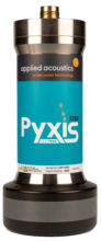
What is an acoustic positioning transponder?
An acoustic positioning transponder is a subsea beacon that responds to acoustic signals. It is a key component of underwater acoustic positioning systems, enabling accurate distance and position calculations.
What is an acoustic positioning beacon?
An acoustic positioning beacon is a small subsea transponder used in underwater positioning systems. It emits or responds to acoustic signals sent from a vessel-mounted transceiver or other beacons.
What are the different types of acoustic positioning systems?
Explore the different types of positioning systems:
USBL acoustic positioning systems
USBL stands for Ultra Short Baseline – a type of underwater positioning system using acoustic signals to track underwater targets such as ROVs, AUVs, divers and towfish with real-time accuracy. USBL systems are essential tools for subsea operations in water depths ranging from just a few metres to over 4,000. They are compact, quick to deploy and require minimal setup, making them ideal for operations where mobility and speed are critical.
- Deployment & Mounting of Transceiver: Multiple combined receive elements and a single transmitter are housed inside a single instrument called a transceiver. The transceiver is mounted on a pole over the side or through a moon pool. It can also be fitted to a gate valve or in basic systems, free-hung over the side of a vessel.
- Interrogation Signal: The USBL system transmits (Tx) to the transponder beacon on a set channel.
- Signal Reception: A transponder fitted on the target(s) receives the signal and responds to the set channel. Modern systems can reply together to reduce interrogation time.
- Distance Measurement: The time it takes for the signal to return to the transceiver on the vessel is measured, and range, bearing and depression angle can be calculated.
- Solution: Using the measurement from multiple receivers and the speed of sound through the water, the system calculates the exact position of the subsea target. With the connection of a GPS (GNSS) the USBL system can map this to a precision Latitude and Longitude.
Short baseline acoustic positioning systems
Short Baseline (SBL) systems use multiple transducers fixed at known distances apart, usually on a vessel or floating structure. By triangulating signals from these transducers, SBL provides greater positional accuracy than USBL, especially in shallow-water environments where multipath interference can affect results. They are often used in survey operations, diver tracking and nearshore construction projects. SBL offers a balance between accuracy and ease of deployment.
- Deployment of Transponders: Several transducers are hung from a surface vessel
- Interrogation Signal: The SBL system transmits (Tx) to the transponder beacon.
- Signal Reception: The transponder fitted on the target receives this signal and responds back.
- Distance Measurement: The time it takes for the signal to return to the transducers on the vessel is measured.
- Solution: Using the distances from multiple receivers and the speed of sound through the water, the system triangulates the exact position of the subsea target.
- Accuracy: The accuracy of an SBL system improves with the spacing of the transducers.
- Larger vessels or docks can provide better spacing, leading to higher precision.
However, SBL systems are complex to install and calibrate, requiring multiple fixed poles and precise baseline calculations. They can also experience masking or geometry issues that affect tracking accuracy.
Additionally, the need for multiple pieces of equipment increases cost. With recent improvements in USBL technology, which offers easier deployment and lower costs, SBL systems no longer provide a significant advantage in results compared to USBL.
Long baseline acoustic positioning systems
Long Baseline (LBL) systems deploy an array of transponders on the seabed, forming a network of fixed reference points. A subsea target communicates with these transponders, and a precise position is calculated by measuring the travel time of acoustic signals. LBL is considered the most accurate acoustic positioning system, often achieving centimetre-level precision.
It’s particularly suited to deepwater surveys, subsea construction, drilling support and scientific research where long-term deployment and high positional reliability are essential. The trade-off is that LBL requires more set-up time and calibration compared to USBL or SBL.
- Deployment of Transponders: Several transponders are placed on the seafloor around the area of interest. These transponders are surveyed in and act as reference points.
- Interrogation Signal: The vehicle or diver carries an interrogator, which sends out an acoustic signal.
- Signal Reception: The transponders on the seafloor receive this signal and respond back to the interrogator.
- Distance Measurement: The time it takes for the signal to travel to the transponders and back is measured. This time is used to calculate the distance between the interrogator and each transponder.
- Triangulation: Using the distances from multiple transponders, the system triangulates the exact position of the vehicle or diver.
As the system utilises a fixed seabed array, the system precision remains the same regardless of water depth.
Passive acoustic hydrophone
Passive Acoustic Hydrophone does not emit any sound itself and listens only for received sound.
Acoustic hydrophones, usually at fixed nodal points, can listen for sounds generated by
marine mammals, vessels and other sources of marine noise.
They are commonly connected to a data recorder rather than livestream data and
algorithms can then pick out and detect sounds of interest. By using multiple hydrophones
and recorders, the data can be stitched together to give a rough direction of position at a
given time.
Echo-location (SONAR)
Sound Navigation and Ranging (Sonar) is a form of echolocation for underwater signals. Sonar transmits a directional signal and then measures the time it takes to return.
It’s used for orientation, obstacle avoidance and detection, as well as for mammals’ social interaction. Types of Sonar include; Side Scan Sonar (SSS), Multi-Beam, Echo sounder.
Doppler velocity log (DVL)
A Doppler Velocity Log (DVL) measures the speed of a subsea vehicle by analysing acoustic signals reflected from the seabed. The DVL’s receivers are typically angled at around 45 degrees, allowing the system to calculate the vehicle’s direction of travel and its distance from the seabed.
Because GPS (GNSS) signals don’t work underwater, a DVL plays a crucial role in estimating how far a subsea vehicle has travelled while below the surface. When combined with sensors such as AHRS or an Inertial Measurement Unit (IMU), the vehicle can navigate autonomously.
However, these systems on their own are not enough for a surface vessel to accurately know the vehicle’s absolute position. Over time, small sensor errors can lead to positional drift.
By integrating a transponder beacon to a subsea vehicle as a combined navigation system, operators can correct this drift, maintain accurate navigation and reliably track and geo-reference the vehicle’s position from the surface.