SAND Geophysics
- SAND Geophysics
- Since 2018
They support offshore infrastructure, environmental monitoring and coastal resource management through cutting-edge technology and expert personnel.
De-risking a large infrastructure project with seismic data
SAND Geophysics were approached to help de-risk potential major tunnelling activities and map key geological horizons across a site for a large infrastructure project.
The work involved identifying variations in soil properties and mapping the interface between weathered and unweathered bedrock, along with any other subsurface risks, such as dissolution hollows.
MCS seismic data was ideal for this task due to its improved signal-to-noise ratio and multiple offsets, allowing for effective move-out and comprehensive velocity analysis – resulting in clearer subsurface imagery and analysis.
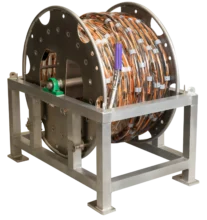
Why the HydraSeis UHR Seismic Streamer?
The applied acoustics HydraSeis Multi-Channel UHR Seismic Streamer was selected for several reasons:
- Small (1m) channel spacing for enhanced resolution and better imaging at the required source frequencies.
- High modularity and section lengths made it well-suited for use from smaller vessels.
- Configurable sampling rates helped minimise aliasing and optimised the sampling of the upward-propagating wavefield to meet survey objectives.


Easy integration with modular configurations
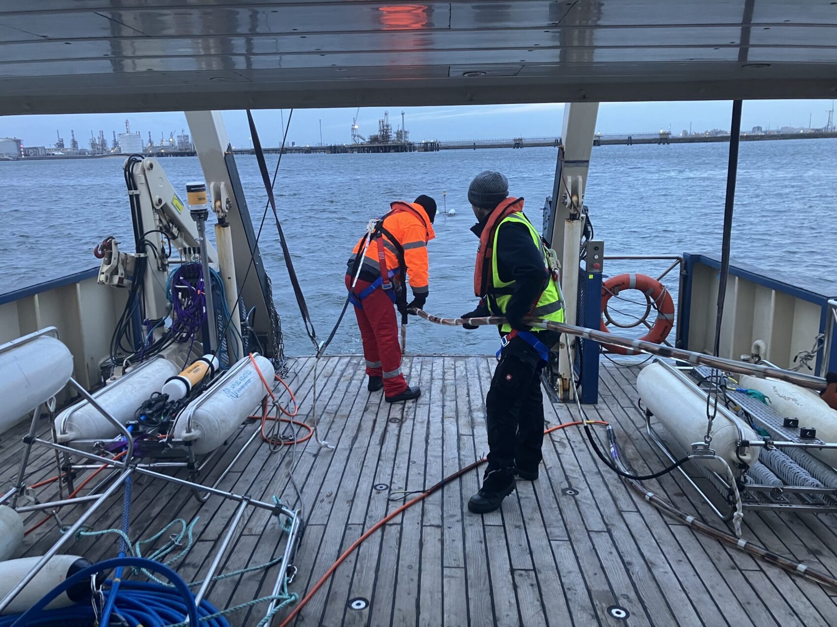
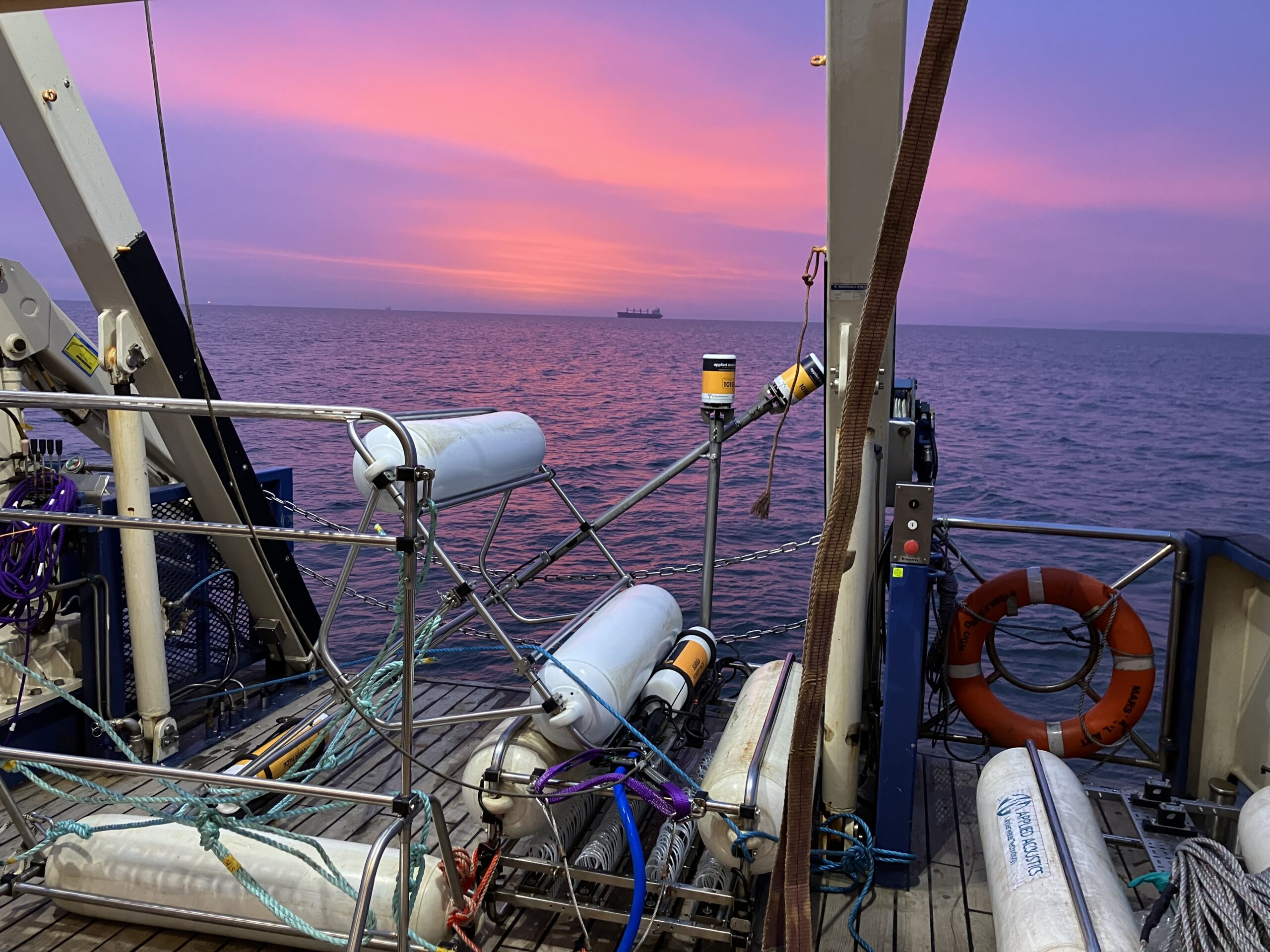
Mobilisation and deployment were straightforward thanks to the streamer’s modular design, which made transport, storage and vessel integration easier. In its 48m configuration, the streamer was light enough to be manually deployed from the vessel.
Accurate positioning was essential for UHR MCS workflows, and integration with the navigation and seismic acquisition systems was smooth, with enough in-built customisation and monitoring to ensure quality results.

What’s been the impact for SAND Geophysics’ team and clients?
“Given the requirement for accurate positioning for UHR MCS workflows, the integration into the navigation and acquisition system with the seismic source was easy. It had enough in-built customisation and monitoring to ensure we could get the results we were after.”
The streamer served as the project’s primary acquisition tool, complemented by a smaller, high-frequency sub-bottom profiler to image superficial riverbed sediments.
The UHR MCS system offered strong near-surface resolution and achieved the required penetration depths. It enabled data collection that wouldn’t have been possible with a single-channel system or SBP – offering significant uplift in the resolution and imaging of potential bedrock anomalies, which could be used in the de-risking process.
To learn more about SAND Geophysics’ work, visit their website here.

Looking ahead
“We would definitely consider using the UHR seismic streamer again for future projects.
Given the types of projects we are approached for that require UHR MCS, it’s good to have a system that’s agile and can be customised to meet different needs. The added benefit of the supplied section lengths and channel spacing make it the ideal solution for UHRS acquisition in challenging imaging environments. Additionally, the continued support from applied acoustics and willingness to listen to feedback gives confidence in the development of the product.”
To learn more about SAND Geophysics’ work, visit their website here.
Or get in touch with us to learn how our Sub Bottom Profiling products can support your next project – delivering high-resolution results, faster mobilisation and greater confidence in complex offshore environments.